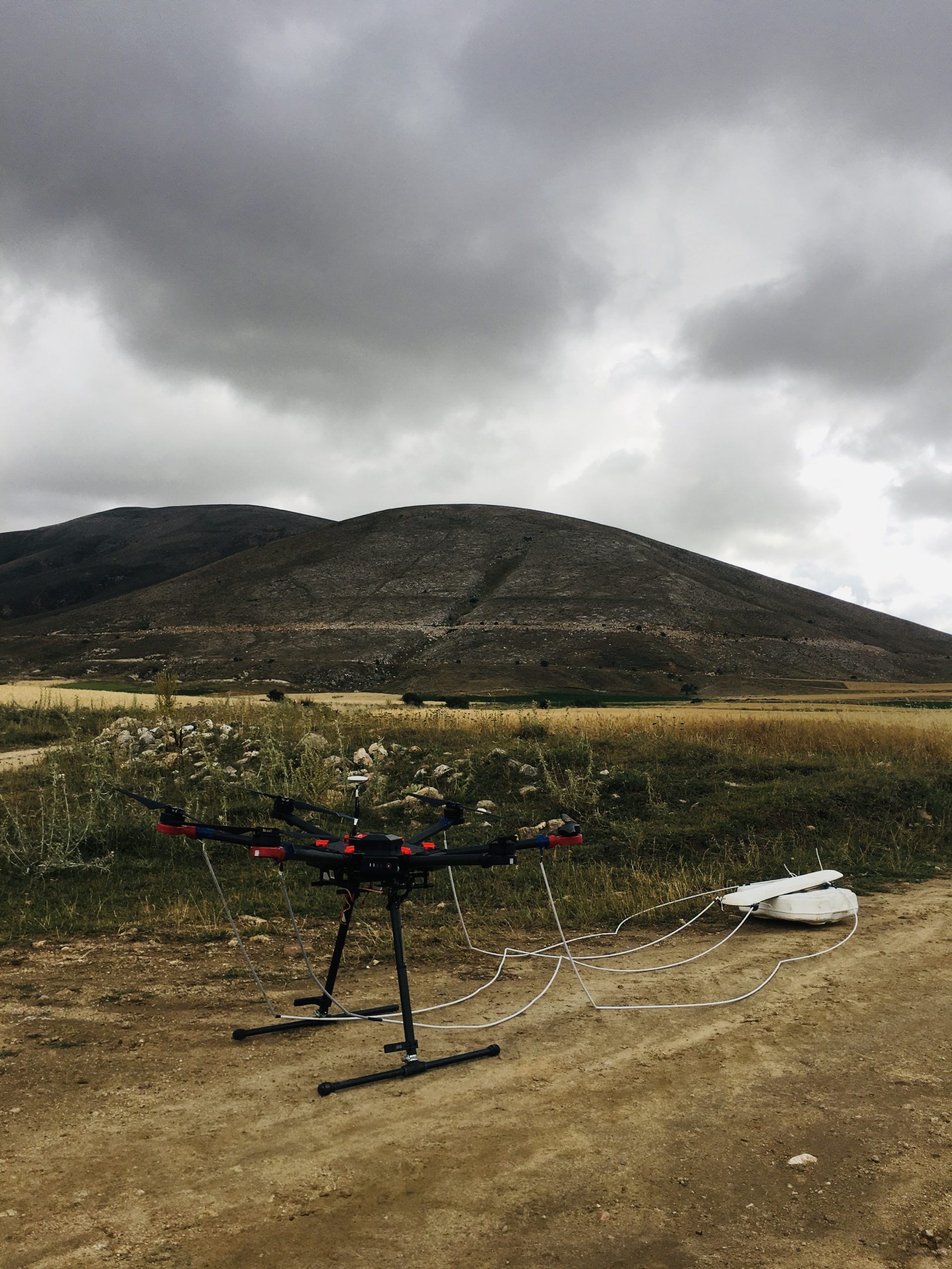
MAGNETIC SURVEYS WITH UAVs
The basic principle involves the examining changes in the Earth’s magnetic field. The vertical component, horizontal components, or vector of the magnetic field, along with inclination and declination angles, can be measured. In practice, the total magnetic field or vertical components are often measured.
Minerals within rocks acquire magnetic properties depending on the Earth’s magnetization force. The aim of the magnetic method is to map areas with different rocks based on variations in the magnetic properties of rocks. Differences in magnetic field intensity in a region are a result of changes in the Earth’s magnetic field and the volume and magnetic susceptibilities of rocks in that area. If the local magnetic field is known, the magnetic intensity of rocks in that area can be directly measured. Magnetic surveys can be conducted from land, sea, or air, and magnetic field intensity is measured using a magnetometer.


